Lagafell
From 70 Brigade
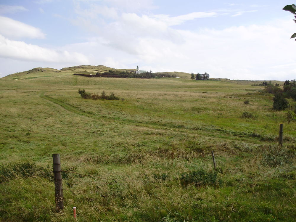
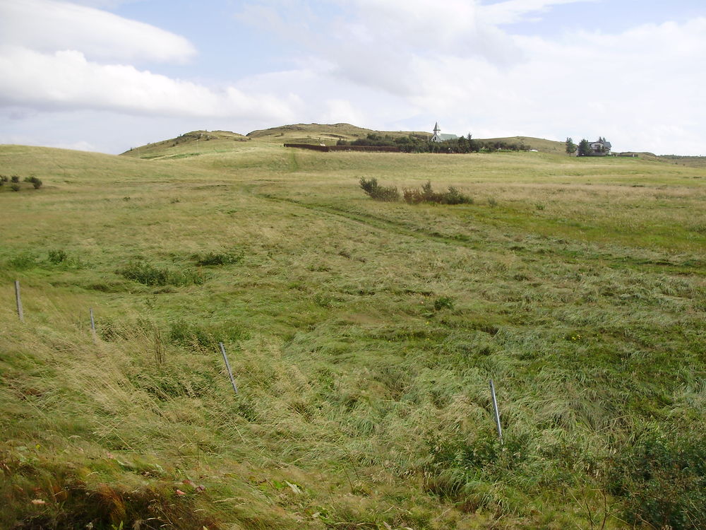
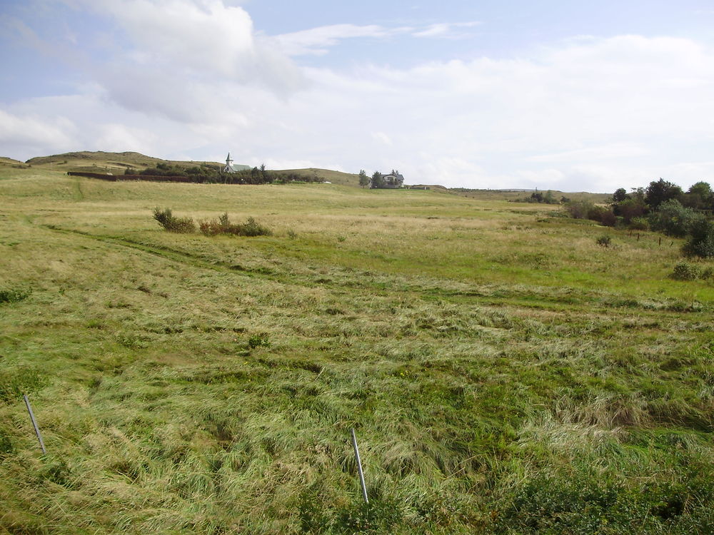
Defensive positions would have been situated on this area of high ground in an emergency. It is hoped that the photographs below, taken during our research visit in 2010 illustrate the nature of the terrain.
To read a Wikipedia article on the local geography, which mentions LAGAFELL, please click here.
To see a map of the area please click here.
To contact the author by e-mail with any queries, or to send information - click here.


